Maps of Gmina Ostrów Wielkopolski
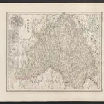
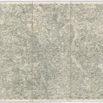 1874|Militärgeographisches Institut1:300 000
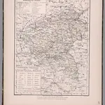
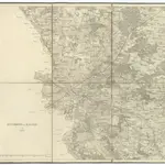 18001:126 000
 1874|Militärgeographisches Institut1:300 000
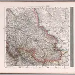 1875|Stieler, Adolf1:740 000
 1860|Meyer, J.
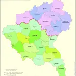 1864|Kunz, Andreas ; Moeschl, Joachim Robert
 1847|Flemming, Carl1:940 000
Old maps of Gmina Ostrów Wielkopolski
Discover the past of Gmina Ostrów Wielkopolski on historical maps
Old maps of Gmina Ostrów Wielkopolski
Discover the past of Gmina Ostrów Wielkopolski on historical maps
Looking for a Google Maps API Alternative?